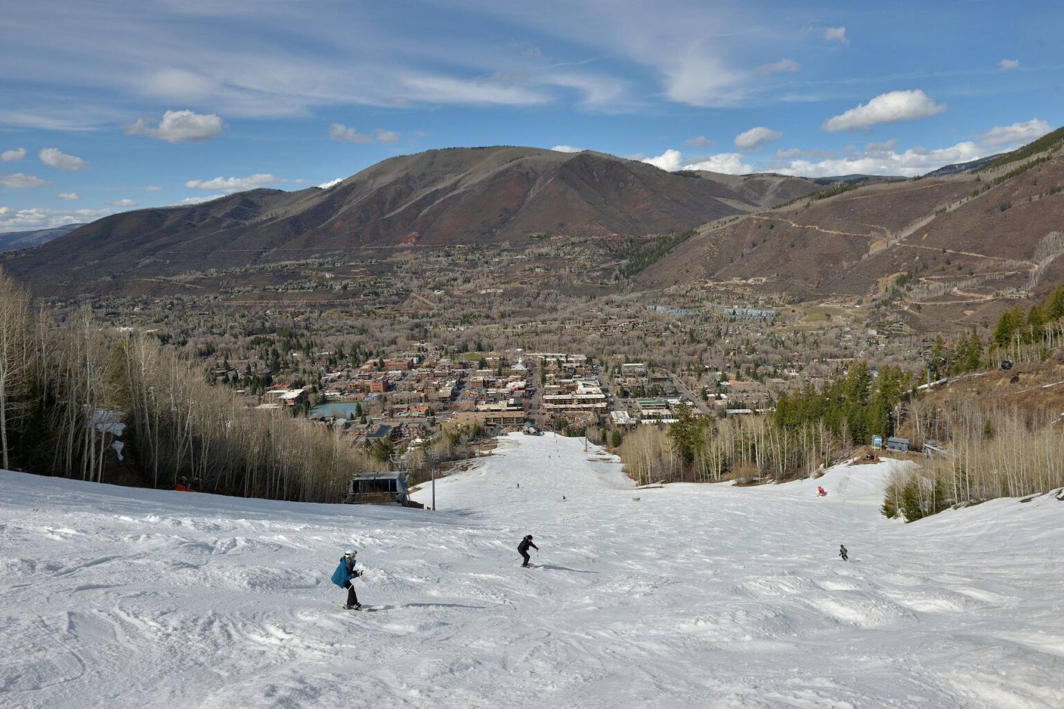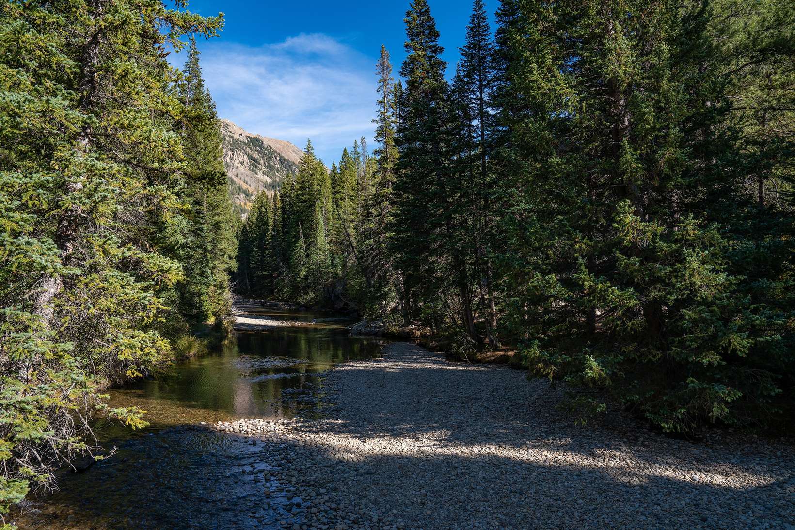
Drive east out of downtown Aspen on Highway 82 and town lets go of you faster than you expect. The buildings thin, the Roaring Fork drops down onto the valley floor, and the ground opens into willows and slow water with the valley walls standing up behind it. That corridor, running east from the edge of town toward Independence Pass with houses stepping up the hillside above the river, is what people are picturing when they search for east Aspen homes for sale.
What makes this stretch different from the Core or the West End is not the architecture. It is the calendar. The same meadow you float past in July is a groomed ski track in February, and the highway you take home in September is gated shut about five miles out by early November.
So here is the east side as a place first: the road, the river, the trail and the bus. Then I will tell you what I check before anyone writes an offer out there.
Where East Aspen sits, and how far it is from downtown
East Aspen is not a platted subdivision with an entry sign. It is the corridor east of downtown along Highway 82 toward Independence Pass, with the Roaring Fork on the valley floor and homes on the hillside above it. The residential street names I can confirm out here include Mountain Valley, McSkimming Road, Eastwood Road, Stillwater Drive and Lupine Drive, plus Ute Avenue closer in to town.
The distances are smaller than the feeling suggests. Difficult Campground sits roughly four to five miles east of town on the banks of the river. The winter gate on the pass is about five miles out. Aspen’s airport, ASE, is about four miles from downtown and on the opposite side of town from this corridor, which is worth knowing if you fly in and out often.
What the Independence Pass gate does for half the year
Independence Pass is the two lane highway that climbs east over the Continental Divide, topping out at 12,095 feet, the highest paved highway in Colorado. CDOT closes it every winter because the steep switchbacks and avalanche danger make plowing unsafe, with a target closure date of November 7 and a typical reopening the Thursday before Memorial Day, per Aspen Times reporting.
The gate itself sits roughly five miles east of Aspen, just past the Lincoln Creek Road turn. Before crews lock it, they sweep the side roads and campgrounds for parked cars, and the Pitkin and Lake county sides close at the same time so nobody gets stranded on top.
Here is the practical translation for a buyer. For roughly half the year the road past that gate carries no through traffic, so the far east end of the valley behaves like a very long dead end street. The dates swing with weather: closure has landed as late as November 17, and the 2026 reopening came on May 21 at noon, the earliest in six years. Treat November 7 as a target, not a promise.
North Star Nature Preserve: 248 acres that stayed empty
The centerpiece of the valley floor east of town is North Star Nature Preserve, 248 acres of glacial bottomland where the Roaring Fork slows down and spreads out. Locals historically called this stretch Stillwater. In the 1960s it was zoned for as many as 1,500 homes before a coalition protected it, according to Pitkin County Open Space and Trails. That history is why the view across the wetlands is permanent rather than pending, and it is the biggest single reason this corridor feels the way it does.
Summer: floating is a privilege with rules
Floating North Star is not a free for all. Parking at North Star and the Wildwood put in is extremely limited, there is a posted quiet zone, and the county asks for no dogs, no glass and no audible music, and that you stay on your board instead of beaching it on the banks, per Pitkin County’s float guidance. There are bike racks and paddleboard racks, and the county openly suggests you walk or ride in on the East of Aspen Trail.
Winter: a groomed track from December 1 to April 14
The same ground becomes something else entirely. North Star is groomed for Nordic skiing on the east side of the river between December 1 and April 14, snowshoers are asked to stay on the outer edge of the groomed track, and there is no river access during the Nordic season except at the Stillwater Bridge takeout. Dogs are allowed only on the East of Aspen Trail, and fishing inside the preserve is permitted only from a boat, under Pitkin County open space regulations.
The East of Aspen Trail is the everyday spine
If you own out here, that trail is your sidewalk. The East of Aspen Trail runs about 6.2 miles round trip, essentially flat, with the trailhead at Stillwater Road and Highway 82 just east of town, winding through aspens, willows and riparian habitat along one of the river’s only slow moving sections, per the Aspen Snowmass hiking guide.
In county survey documents, residents describe using it daily: birding, dog walking, cross country skiing, and morning moose and beaver sightings in the willows. That is the amenity a listing photo never captures, and it is what sells someone on the east side long before the floor plan does.
If you want to see how close these houses actually sit to the water and the path, search by map so you can see where the river and the trail actually are.
Rubey Park, the bus and the Mountain Valley Dial-a-Ride
Quiet addresses do not always come with transit. This one does. The City of Aspen runs a Mountain Valley Dial-a-Ride serving the residential streets of Mountain Valley, McSkimming Road, Eastwood Road and Stillwater Drive. On the published 2026 summer schedule it departs Rubey Park at :15 and :45 and runs inbound from Lupine Drive at :00 and :30, with a $1 cash fare and discounted passes, per the City of Aspen bus schedule. Check the current seasonal schedule before you count on it, because city routes change between high season and off season.
Rubey Park in the middle of downtown is the hub those free in town buses run from, so an east side address can mean a short ride into the Core rather than a drive and a parking problem.
What I check before an offer on east Aspen homes for sale
This corridor rewards site visits more than spreadsheets. Here is my short list when I am touring east Aspen real estate with a client:
- Walk the lot twice. Light and view are site specific in a valley this treed and this deep, so I ask clients to stand on the same ground at a different hour and, when timing allows, in a different season.
- Locate the gate. Know exactly where the house sits relative to that winter closure point, because it decides whether your road is a highway or a dead end for half the year.
- Understand the summer tempo. Difficult Campground has 47 sites on the river, reservations are required through recreation.gov, and it is one of the highest occupancy campgrounds in the Aspen Sopris Ranger District. Summer out here is not empty.
- Ask about Ute Avenue. The Aspen Club property at 1450 Ute Avenue is a five acre redevelopment site with approvals that include luxury condominiums, townhomes and worker housing. That timeline has moved repeatedly, so confirm where it stands today rather than assume.
- Price it against the whole town. There is no clean sub market data for this pocket, so comparisons have to be built listing by listing.
On the numbers, Aspen currently has 175 active residential listings with a median list price of $9,500,000 and a median of 106 days on market, and 27 residential sales closed in the last 30 days at a median sold price of $8,725,000 (AGMLS data via Spark, as of today). Those are town wide figures, and that matters: any “East Aspen average” you find online is unverified. You can browse every current Aspen area listing and judge the east side house by house.
Frequently asked questions about east Aspen homes for sale
Where is East Aspen and how far is it from downtown Aspen?
It is the corridor running east from downtown along Highway 82 toward Independence Pass, with the Roaring Fork on the valley floor and homes on the hillside above. The landmarks are close in: Difficult Campground is roughly four to five miles east, and the winter pass gate is about five miles out.
Does Independence Pass closing in winter affect homes east of Aspen?
Yes, and mostly in a way buyers like. CDOT closes the pass every winter because of steep switchbacks and avalanche danger, with a November 7 target and a reopening usually the Thursday before Memorial Day. Past the gate there is no through traffic for roughly half the year, so the far east end behaves like a long dead end street.
Can you float or ski at North Star Nature Preserve if you live nearby?
You can do both, within rules. Summer floating comes with a quiet zone, very limited parking, and no dogs, glass or audible music, and the county suggests riding or walking in on the East of Aspen Trail. From December 1 to April 14 the east side of the river is groomed for Nordic skiing, with dogs allowed only on the trail.
What kinds of homes are for sale east of Aspen along Highway 82?
The corridor is mostly houses on the hillside above the river, with condominium and townhome product approved closer in near Ute Avenue. Because the MLS reports by town rather than by this pocket, the honest answer is that inventory here is small and changes fast, so I track it listing by listing and send clients what fits.
Let’s walk the east side before you decide
My advice on this corridor is simple: walk it before you buy it. I will tour the same properties with you on foot from the East of Aspen Trail, show you where the pass gate sits relative to the front door, and share my shortlist of what is quietly available east of town.
Send me your must-haves and I will tell you what is realistic. Talk to me about the east side when you are ready, or start by scrolling through current Aspen homes for sale.
One email from me every Saturday
The Aspen and Snowmass Village numbers for the week, what I am seeing on the ground, and one thing worth doing. No spam, and you can unsubscribe any time.
Photo: “Roaring Fork River (Grottos Day Use Area) on Independence Pass, Colorado (30624681277)” by Tony Webster, Wikimedia Commons, CC BY 2.0.